
The stub end of the originally-planned NJ 41 bypass of Haddonfield. Only the northern half of the bypass was built from CR 561 to NJ 41/CR 573*/NJ 70, and this northern half became NJ 154 when it was clear the southern half would never be built.

.jpg)


.jpg)
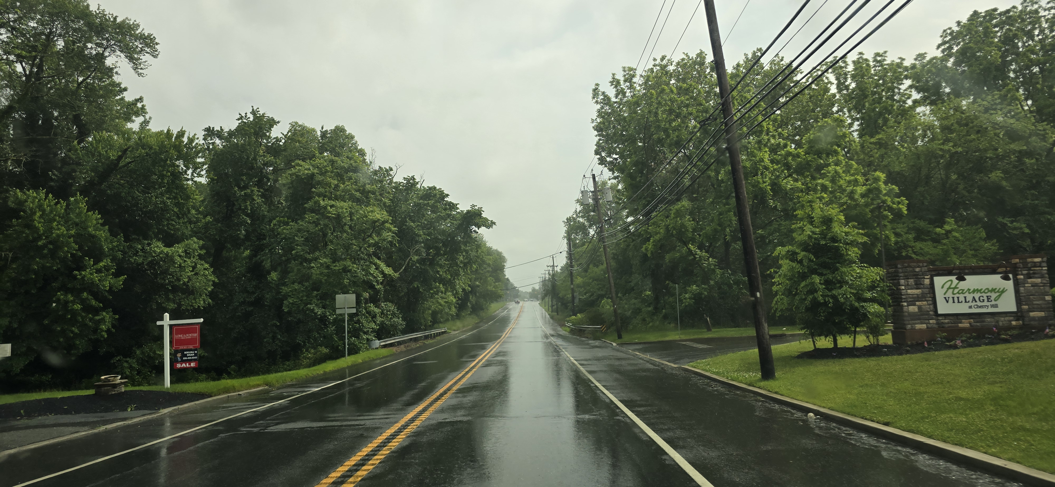
NJ 154 starts at CR 561.


Why is CR 561 signed east-west here? I know CR 561 physically runs east-west, but NJDOT needs to make it make sense when CR 561 signs are north-south!

.jpg)


.jpg)

.jpg)


Old stone walls on a bridge. Inscribed is NJ 41, the originally planned designation had the bypass been complete.

How did the sign shop screw up the spacing between the 1 and the 5 here?!


.jpg)

CR 573* ends** here, and NJ 41 overlaps NJ 154 until the NJ 70 intersection.


.jpg)
NJ 154 ends at NJ 41 and NJ 70.
*CR 573 may or may not exist de jure.
**Northern end of CR 573 unclear.
No comments:
Post a Comment