So, what exactly is this? NJ 41 has two state-maintained portions and one county-maintained portion. The reason: the NJ 154 bypass of Haddonfield, the intended alignment of NJ 41, was never completed south of CR 561 to intersect NJ 41 south of Haddonfield. So NJDOT "temporarily" routed NJ 41 along an existing county road, CR 573, until NJDOT made the "temporary" routing permanent in the 2000s. Camden County still maintains the alignment, and CR 573 has since been deleted from the NJDOT logs. But CR 573 still exists de facto, because many old signs haven't been replaced yet and overhead signal signs still read CR 573.
NJ 41 south of CR 573*:
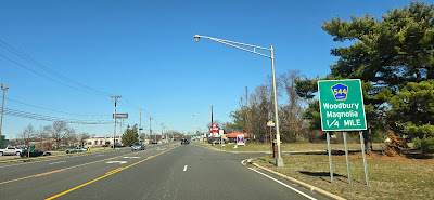
NJ 41 crosses the historic Clements Bridge from Gloucester into Camden County. While the Revolutionary-era bridge doesn't exist anymore, the site does. Hessian troops retreated across the bridge, and part of their route is now NJ 41 and CR 544.
Why can't the sign shop put in labels on this sign to read CAMDEN COUNTY for CR 544. At least the NJ 41 sign looks decent, but still.
NJ 41 and CR 573*:
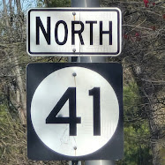
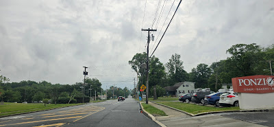
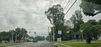
NJ 41 and CR 573*. This is signed as NJ 41 until it reaches Haddonfield, then there are no new signs, and all of the NJ 41 signs are old and say TEMPORARY. And they really are old! Dating back to when NJ still uses white and black county route squares instead of blue and yellow pentagons. Had myself a great darn time on King's Highway, having a field day finding these old signs.
By the way, if Camden County finally agrees to take down CR 573 once and for all, please find a way to preserve some of these signs. Some could end up in local historical societies, and it would make sense there. And I hope you're willing to give some to private collectors. Maybe I could have one, please? Preferably an old square sign, but I could go for a blue pentagon with CR 573. Just as long as it's allowed when you take down signs for replacement with newer ones.
A colonial-era milepost on NJ 41, indicating distances to Gloucester City and Camden. Still legible today!
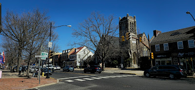
The distinctive white background sign blades of Haddonfield.

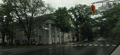
A green background! I guess we aren't in Haddonfield anymore.
NJ 41 transfers onto a connector road to head north, overlap with NJ 154 briefly, then intersect NJ 70. CR 573* may take this alignment, or it may follow another alignment for its northern terminus.
Potential independent CR 573*:
From NJ 70 EB to Connector Road is a section of Kings Highway that is not part of NJ 41. This used to be the mainline that intersected NJ 70 at a circle. That circle is where CR 573 ended. But the circle is now gone, and NJ 41 was given a permanent designation through downtown Haddonfield, leaving the northern terminus of CR 573* unclear. If this is part of CR 573*, then CR 573* is an independent route for one or two blocks.

.jpg)


.jpg)






No comments:
Post a Comment