CR 56 (and former  )
)
 )
)CR 56 connects Elmwood Park to Fort Lee. All of the road was once NJH 6, the predecessor to US 46. Even more, the segment from the Passaic County / Bergen County line to downtown Hackensack was part of the pre-1927 NJSHR 10. But what is CR 12 doing here? Well, CR 12 is the former designation of CR 56 when Bergen County had a series of original county routes. Just like the other counties, Bergen County renumbered their CRs, and CR 12 became CR 56.
CR 56, Hackensack Green and west (former NJSHR 10, NJH 6):

Starting in Paterson at the junction with NJ 20. Why am I starting in Passaic County? Because the effective western terminus of Bergen CR 56 is at NJ 20, even though the route ends at the county line. Market Street can be followed through this junction, but signs don't really indicate that. Especially not eastbound from Paterson to Elmwood Park.
There are also two things I am not sure of:
- Whether NJSHR 10 extended into downtown Paterson along Market Street. If so, NJSHR 10 likely intersected NJSHR 11 in the heart of Paterson and used the entirety of Passaic CR 648.
- Whether Passaic CR 648 was extended eastwards only to NJ 20, or if it extends to end at the Bergen County line unsigned via the complicated junction. Passaic County mounted a new CR 648 WB shield at Market Street WB just after the NJ 20 off-ramp, so that suggests CR 648 reaches NJ 20. But any further east, I don't know.

Immediately we strike gold. The Market Street Bridge between Paterson and Elmwood Park is one of the longer bridges from the pre-1927 NJSHR system, built in 1923. And it's still holding strong today as shown by the big Mack truck on the bridge. There are surprisingly no weight restrictions here for vehicles!


An inscription for NJSHR 10 on a 1923 bridge.

There used to be a plaque for the Market Street Bridge here, but that plaque somehow disappeared. The plaque lasted up to at least December 2024, so I don't know how it disappeared! If someone vandalized this plaque, karma could get them. But if a historical society got the plaque, I hope they preserve it well.


A Passaic County bridge stamping.

.jpg)
An inscription of the date of the bridge.


CR 56 junctions CR 507 and its ramps to and from I-80. Notice how these sign poles, sign blades, and mast arms are NJDOT standard.


What? NJDOT signs Bergen CR 12 as if it still exists? They need to update their logs so that this isn't signed as CR 12.


CR 56 in Elmwood Park.


Close-up of the original CR 12 shield.


The Hackensack Green. Here, CR 56 (and former NJH 6) depart from former NJSHR 10, which continues east on the Bergen Turnpike / Hackensack Plank Road (CR 124).


The Bergen County Courthouse on CR 56.


CR 56 (Midtown Bridge / Degraw Avenue alignment):
For some reason, CR 56 uses a different alignment to cross the Hackensack River to Bogota. This is a modern addition to CR 56, using the Midtown Bridge and Degraw Avenue. While there is no signage, a de facto method to connect between the Green and the current CR 56 alignment is via CR 503.


The Midtown Bridge between Hackensack and Bogota.


CR 56 / CR 12 former alignment, Hackensack and east (former NJH 6):
While this seems like the more straightforward alignment of CR 56 (and I think it should be), this alignment isn't really continuous because of I-95 severing Fort Lee Road.


.jpg)
An old CR 12 sign in Hackensack. CR 12 WB once used CR 503 SB to get back to Court Street.


The historic Court Street Bridge carried CR 56 (and formerly NJH 6) across the Hackensack River.


CR 56 crossing into Bogota, transitioning to Fort Lee Road. This intersection with River Road can be used to jog between the historical alignment and the modern road.

The old wire guiderail.


CR 56 / former NJH 6 / former CR 12 east of I-95:
After crossing I-95, modern CR 56 rejoins the former NJH 6 / CR 12 alignments through Leonia and Fort Lee.


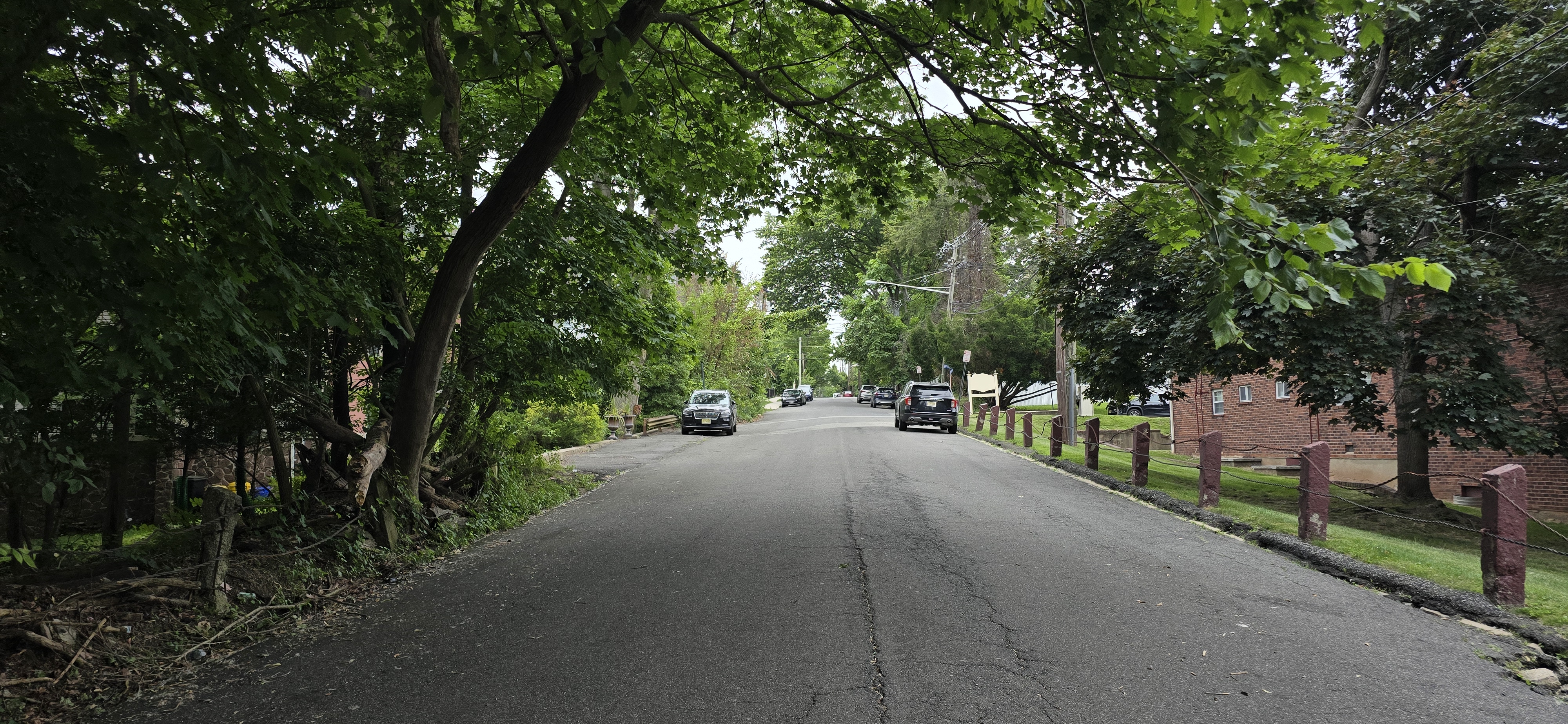
CR 56 in Leonia.


No comments:
Post a Comment