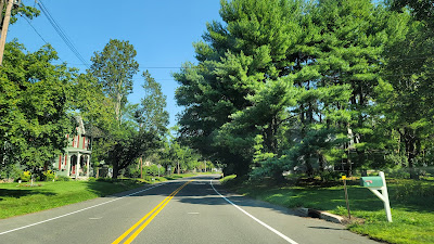
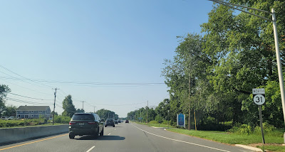
NJ 31 connects Trenton to Buttzville. Funnily enough, this road used to be called NJ 69, but a bunch of signs got stolen. Is it any wonder that this road was renumbered, especially with a northern end there!
A monumental southern end of NJ 31, at US 206 in Trenton.
The TCNJ (The College of New Jersey, formerly Trenton State) campus is close to NJ 31. While not on NJ 31 itself, there is some relevant signage here.
NJ 31 between Trenton and Ringoes. Here, NJ 31 runs concurrently with CR 579. The road used to cut through Pennington and Ringoes but has since been bypassed.
NJ 31 in Linvale, East Amwell.
Between Clinton and Washington, NJ 31 bypasses a series of small towns. Many pieces of its former alignment through those towns are still extant.
NJ 31 in Washington, where it junctions NJ 57.
The Delaware Water Gap is a control city because NJ 31 heads northwest and US 46 WB seems like the more logical route to take, even though NJ 31 doesn't reach the Delaware Water Gap.

NJ 31 ends at US 46 in Buttzville.
Historically, NJ 31 was planned to extend further north as the Foothills Freeway at least to I-80 per NJ boring logs. The possibly overbuilt Interchange 12 between I-80 and CR 521 may have been built for where the NJ 31 freeway would meet I-80. The corridor would have continued even further north as the Foothills Freeway to I-84 Exit 1 (northern end of NJ 23) in New York, and could have become I-184 from I-80 to I-84. If not, a northern NJ 31 extension and NY reference route. This development was also tied to the cancelled Tocks Island Dam project that led to the creation of the Delaware Water Gap National Recreation Area.
Map of boring logs. Look to the west (left) of Pequest and follow the blue dots north to just short of Feebletown for soil borings taken for the Foothills Freeway.


No comments:
Post a Comment