
The shortest US Highway that isn't a spur. Also a two-digit US Highway that only goes through one state. However, US 46 was planned for much more when the US Highway System was planned in the 1930s. The road was supposed to extend through Pennsylvania and reach Cleveland, creating an early Cleveland to New York City highway. Much of planned US 46 in Pennsylvania would have followed (or replaced) US 322. This longer US 46 never came to be.


The start of US 46 at I-80 and NJ 94.

.jpg)
Anti-rockfall netting lines US 46 down the Delaware Water Gap.


Faded sign at the junction with CR 519. Belvidere is the county seat of Warren County, and is unique in that it is the only county seat in New Jersey that doesn't have an Interstate, US Highway, NJ State Route, or 500-series county route within its borders. US 46 and CR 519 come extremely close... if only...


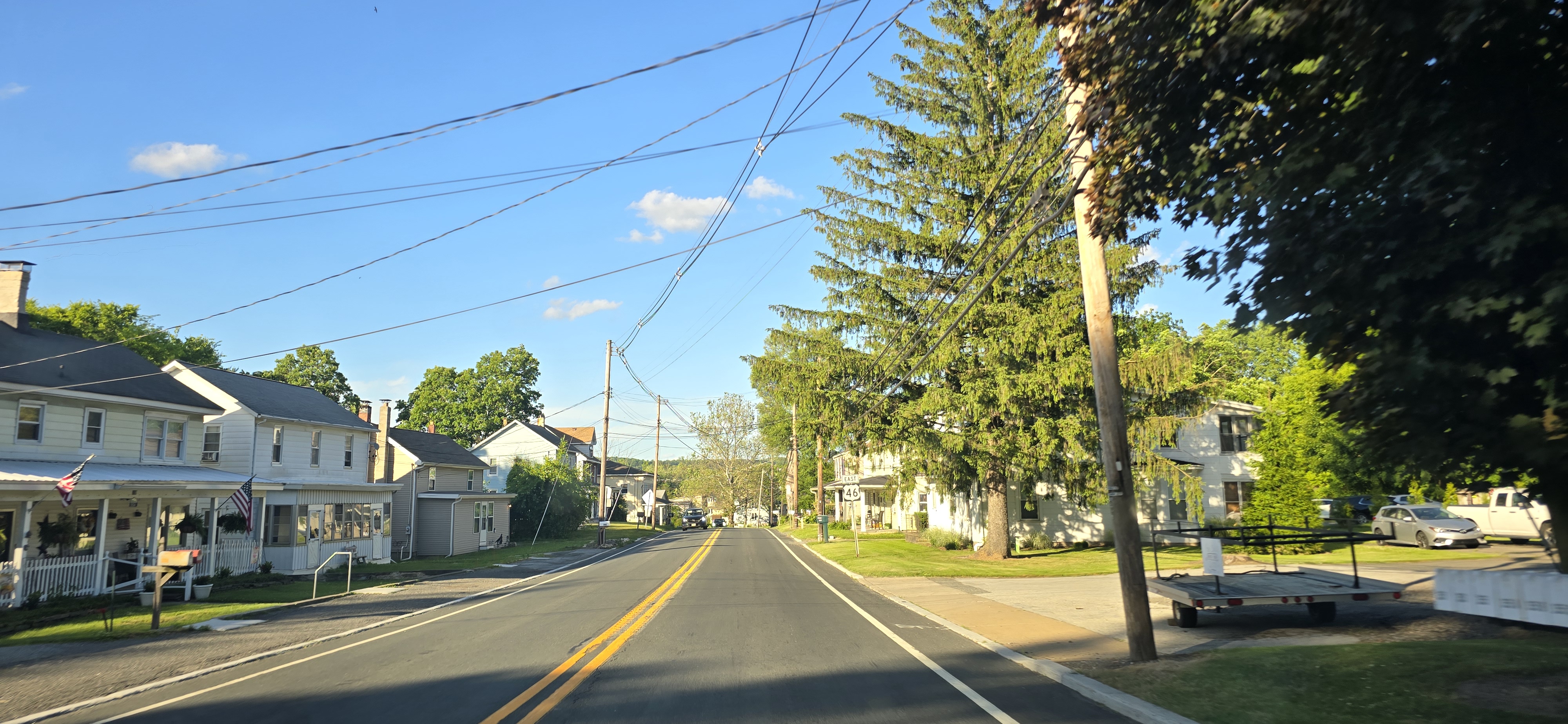
Town names, from the silly (Buttzville), to the hopeful (Hope), and the okay (Hazen).


One reason to visit Buttzville besides the unusual name is this well-loved hot dog stand along US 46.


An old bridge in Buttzville. Not along US 46, but within close proximity to the road, and would have connected to US 46 had the connection not been severed. Maybe this was US 46 or its predecessor.


US 46 intersects NJ 31 in Buttzville. Funnily enough, NJ 31 used to be NJ 69, and for its northern terminus to be in Buttzville... is it any wonder why people stole NJ 69 signs and the DOT had to step in and change the number to 31?


.jpg)

US 46 in Great Meadows.


.jpg)


US 46 (and CR 517) in downtown Hackettstown.
.jpg)

.jpg)
US 46 approaching Hackettstown from the east. NJ 182 should be a part of NJ 57, but it is not part of NJ 57 because the NJ 57 eastern bypass of Hackettstown was never built. It's more convenient to have one designation.

This divided section of US 46 is where NJ 57 should have had its eastern terminus had the bypass of Hackettstown been built.

Once again, US 46 has a junction with I-80.

.jpg)
US 46 between Hackettstown and Netcong.

Between I-80 and NJ 10, US 46 is home to a locally beloved ice cream stand.

US 46 at the western terminus of NJ 10 at the former Ledgewood Circle.
.jpg)


Older concrete pillars for this rail bridge, but a newer deck.


US 46 junctions Smith Road at a large, overpowered wye near I-80 and I-287. But why am I pointing out this junction? The wye exists for a reason.
This wye was built not as Smith Road, but as one of the first original segments of I-287. This was originally built as an unnumbered road between NJ 10 and US 46 that served as a bypass of Lake Parsippany. The wye served as the northern terminus of that initial stretch of I-287. When I-287 was extended to usurp the Lake Parsippany bypass and I-80 was built, the wye was reused for Smith Road, which provides local access to and from I-80.
.jpg)
US 46 has yet another junction with I-80. US 46 doesn't lead to the Caldwells and Montclair, but NJ 159 and CR 506 do. These control cities are likely there for historical continuity, because US 46 from Denville to the NJ 159 junction used to be Bloomfield Avenue (with some still extant old alignments of Bloomfield Avenue). Bloomfield Avenue led from Denville to the titular Bloomfield, passing through Parsippany, the Caldwells, and Montclair en route to Bloomfield and Newark. NJ 159 is also the former alignment of US 46 until US 46 was straightened.


US 46 where NJ 159 departs from it. NJ 159 isn't even signed from here, but control cities along CR 506 are signed here, such as The Caldwells and Newark (via CR 506 Spur). This is because CR 506 is the real "through route", the continuation of the main segment of Bloomfield Avenue from Pine Brook all the way down to the titular Bloomfield and Newark. US 46 is just one part of the Bloomfield Avenue corridor, with the largest part of Bloomfield Avenue being NJ 159, CR 506, and CR 506 Spur.
And what about Montclair, the other control city along US 46 EB? Montclair can be reached via either CR 506 or US 46 and Essex/Passaic CR 621.


US 46 enters a tangled mess of an interchange with I-80 and NJ 23 in Wayne. See here for more photos of the tangled Spaghetti Bowl.
.jpg)
A newer US 46 bridge decorated with a 46 inscription. Nice touch.


NJ 62 is very short and would probably be better off not signed. But NJDOT still signs the short NJ 62 anyways, so I guess that's sufficient proof it exists?


NJ 3 splits off from US 46. NJ 3 is on the left, and US 46 is on the right. But US 46 exits the "mainline" and the mainline is NJ 3. This junction was reconfigured because for I-80 traffic, NJ 3 is the mainline for the Lincoln Tunnel, and that is where a bunch of traffic on this section of US 46 comes from. Additionally, this interchange used to be two lanes in each direction for US 46, two lanes in each direction for NJ 3 while US 46 west of the junction was a six-lane road, and NJ 3 was a six-lane road. Now there's three lanes in each direction all the way through for the US 46 - NJ 3 "mainline". I-80 (via I-95) and US 46 both go to Fort Lee, and US 46 is the more inconvenient route to go to Fort Lee when I-80 exists. That probably explains the rationale for making NJ 3 the "mainline" of this junction. It used to be that NJ 3 exited on the right and US 46 was the mainline on the left, however, modern traffic patterns have shown otherwise.


US 46 has a cut in Clifton. Note the cast iron sign.

US 46 breaks up NJ 20 and NJ 21, but the transition between the routes is seamless. NJ 21 and NJ 20 form the "mainline", while US 46 enters and exits that "mainline".

.jpg)


No comments:
Post a Comment